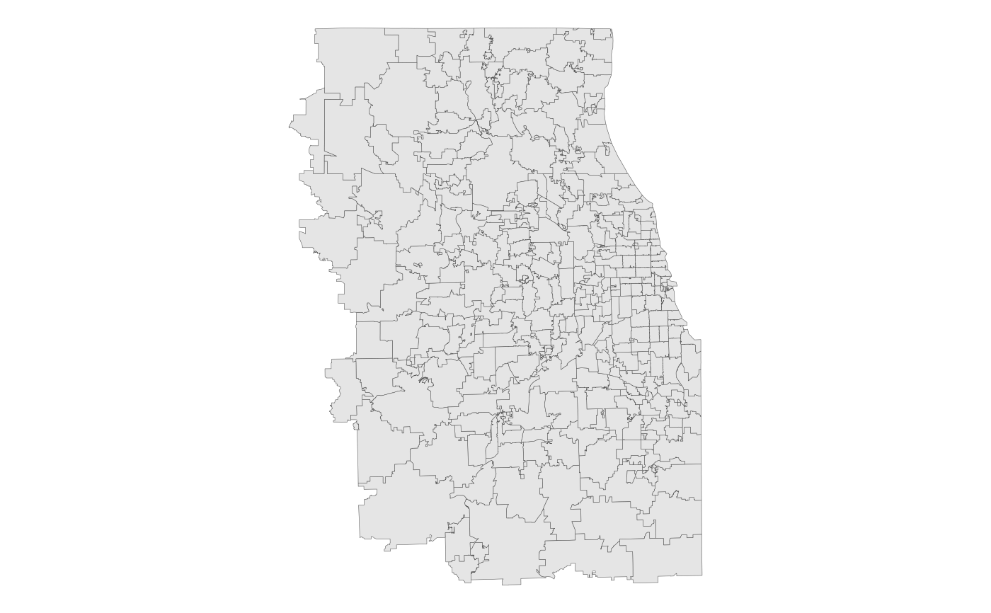
The Census ZCTAs covering the 7-county Chicago Metropolitan Agency for Planning (CMAP) region. From the US Census Bureau's TIGER/Line shapefiles, 2023 vintage.
zcta_sfFormat
A multipolygon sf object with 320 rows and 3
variables:
- geoid_zcta
Unique 5-digit ZCTA ID, corresponding to a 5-digit USPS ZIP Code. Character.
- sqmi
Area in square miles. Double.
- geometry
Feature geometry.
sfmultipolygon.
Source
US Census Bureau TIGER/Line
Details
Census Bureau description:
"ZIP Code Tabulation Areas (ZCTAs) are approximate area representations of U.S. Postal Service (USPS) five-digit ZIP Code service areas that the Census Bureau creates using whole blocks to present statistical data from censuses and surveys. The Census Bureau defines ZCTAs by allocating each block that contains addresses to a single ZCTA, usually to the ZCTA that reflects the most frequently occurring ZIP Code for the addresses within that tabulation block. Blocks that do not contain addresses but are completely surrounded by a single ZCTA (enclaves) are assigned to the surrounding ZCTA; those surrounded by multiple ZCTAs will be added to a single ZCTA based on limited buffering performed between multiple ZCTAs. The Census Bureau identifies five-digit ZCTAs using a five-character numeric code that represents the most frequently occurring USPS ZIP Code within that ZCTA, and this code may contain leading zeros. Not all ZIP Codes in use by the USPS may have a ZCTA delineated to represent them, The USPS makes periodic changes to ZIP Codes to support more efficient mail delivery. In addition, the ZCTA delineation process primarily uses residential addresses and has a bias towards ZIP Codes used for city-style mail delivery, thus there may be ZIP Codes that are primarily nonresidential or used for PO boxes only that may not have a corresponding ZCTA. ZIP Code is a trademark of the U.S. Postal Service."
Examples
# Display the ZCTAs with ggplot2
library(ggplot2)
ggplot(zcta_sf) + geom_sf(lwd = 0.1) + theme_void()