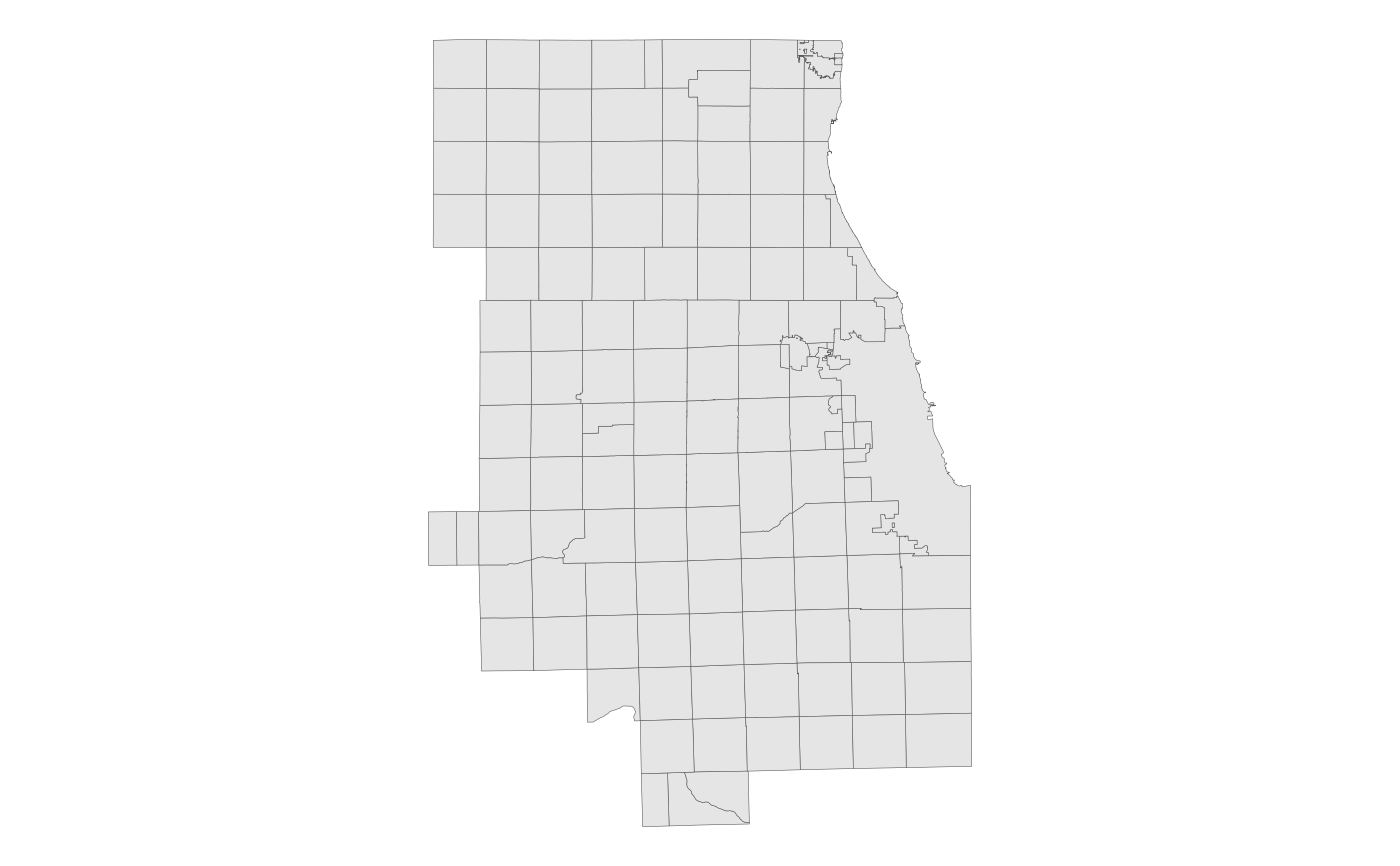
The political townships (also referred to as "county subdivisions" in Census Bureau terminology) that are within the CMAP Metropolitan Planning Area (MPA). (The MPA includes the 7 CMAP counties, plus Aux Sable Township in Grundy County and Sandwich & Somonauk Townships in DeKalb County.) From the US Census Bureau's TIGER/Line shapefiles, 2023 vintage.
township_sfFormat
A multipolygon sf object with 128 rows and
5 variables:
- geoid_cousub
Unique 10-digit county subdivision/township ID, assigned by the Census Bureau. Character.
- township
Township name. Character.
- county_fips
Unique 5-digit FIPS code of the county the township is in. Character.
- sqmi
Area in square miles. Double.
- geometry
Feature geometry.
sfmultipolygon.
Source
US Census Bureau TIGER/Line
Details
Census Bureau description:
"County Subdivisions are the primary divisions of counties and equivalent entities. They include census county divisions, census subareas, minor civil divisions, and unorganized territories and can be classified as either legal or statistical. Each county subdivision is assigned a five-character numeric Federal Information Processing Series (FIPS) code based on alphabetical sequence within state, and an eight-digit National Standard (NS) code."
Note: The entire City of Chicago (other than the portion of O'Hare in DuPage County) is included as a single township in this dataset, and has not been subdivided into the eight theoretical townships defined by the Cook County Clerk's Office for the purposes of collecting property tax.
Examples
# Display the townships with ggplot2
library(ggplot2)
ggplot(township_sf) + geom_sf(lwd = 0.1) + theme_void()