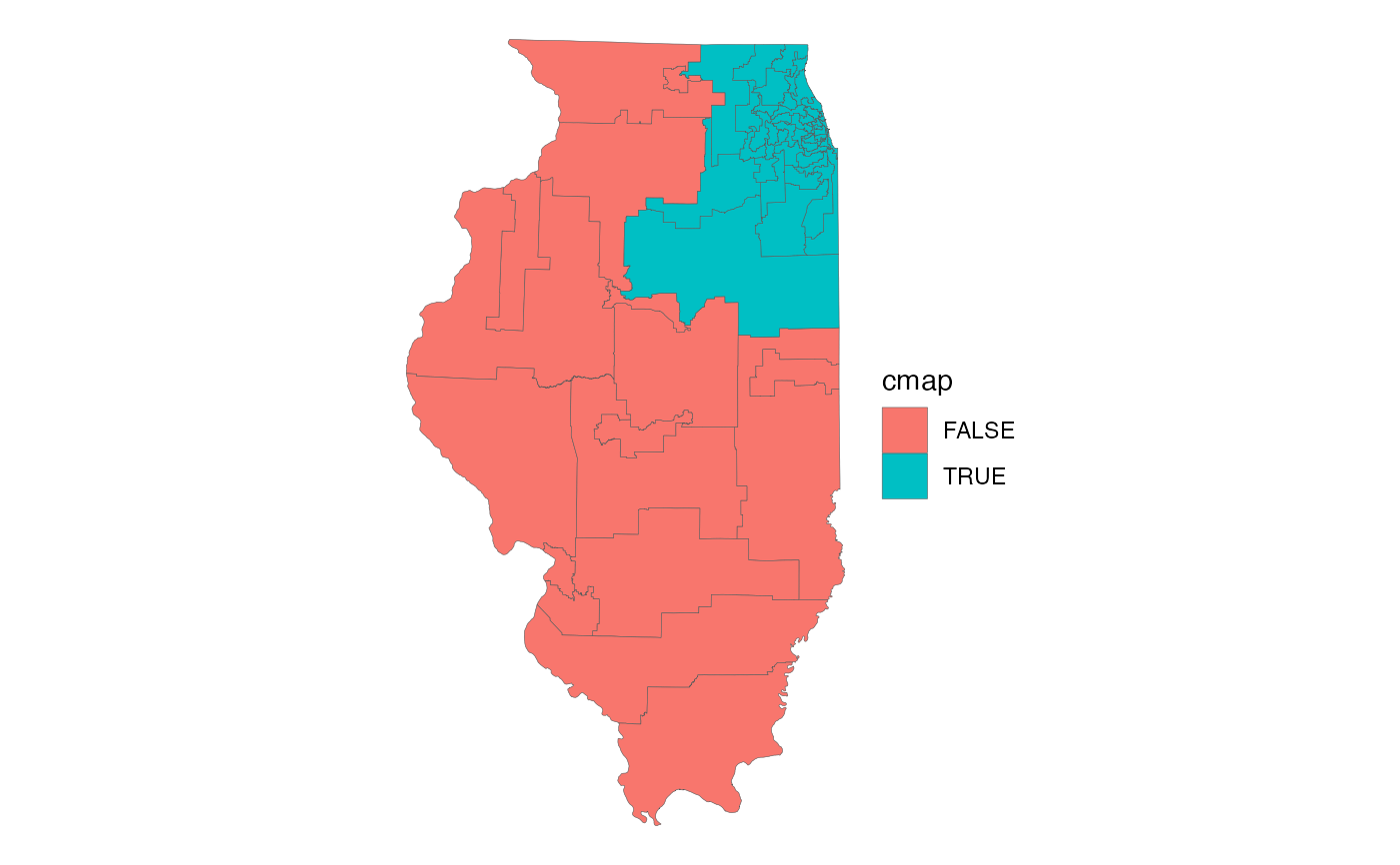
The Illinois General Assembly Senate Districts. From the US Census Bureau's TIGER/Line shapefiles, 2023 vintage. These districts now reflect new district boundaries for the 2022 election (for the 103rd General Assembly).
ilga_senate_sfFormat
A polygon sf object with 59 rows and
5 variables:
- dist_num
Illinois State Senate District number. Integer.
- dist_name
Name of the district. Character.
- cmap
Does the district overlap the 7-county CMAP region? Logical.
- sqmi
Area in square miles. Double.
- geometry
Feature geometry.
sfpolygon.
Source
US Census Bureau TIGER/Line
Details
Census Bureau description:
"State Legislative Districts (SLDs) are the areas from which members are elected to state legislatures. The Census Bureau first reported data for SLDs as part of the 2000 Public Law (P.L.) 94-171 Redistricting Data File.
*"Current SLDs (2018 Election Cycle)—States participating in Phase 4 of the 2020 Census Redistricting Data Program voluntarily provided the Census Bureau with the 2018 election cycle boundaries, codes, and, in some cases, names for their SLDs. All 50 states, plus the District of Columbia and Puerto Rico, participated in Phase 4's State Legislative District Project (SLDP) of the 2020 Census Redistricting Data Program. States subsequently provided corrections to those plans through the Redistricting Data Office during Phase 2 of the 2020 Census Redistricting Data Program, if needed.
"The SLDs embody the upper (senate—SLDU) and lower (house—SLDL) chambers of the state legislature. A unique three-character census code, identified by state participants, is assigned to each SLD within a state. In some states, state officials did not define the SLDs to cover all of the state or state equivalent area (usually bodies of water). In these areas with no SLDs defined, the code 'ZZZ' has been assigned, which is treated within state as a single SLD for purposes of data presentation."*
Note: The aforementioned "ZZZ" district, which comprises the Illinois portion of Lake Michigan, has been excluded from this dataset.
