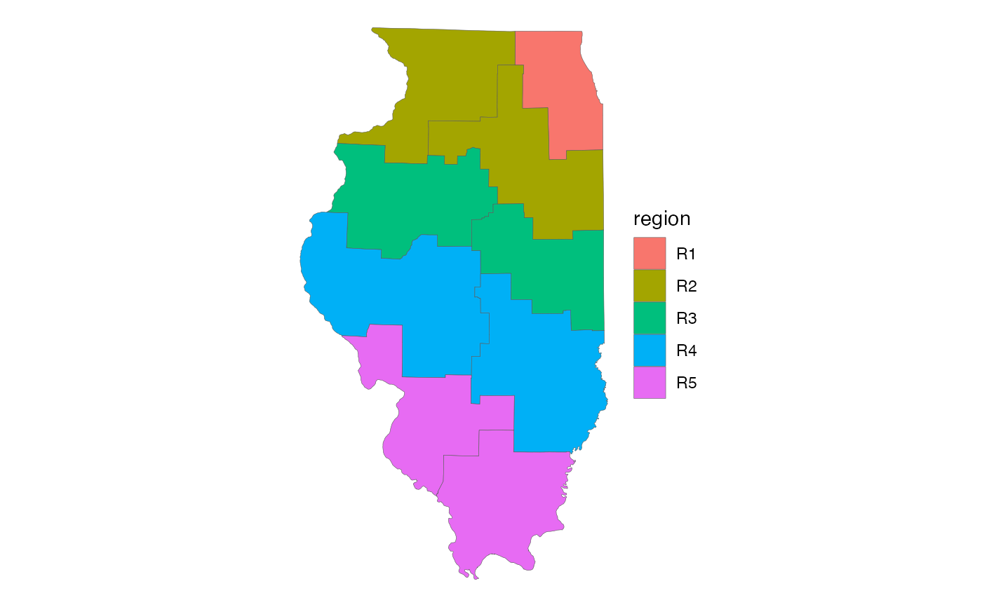
The nine highway districts covering the entire state of Illinois, as defined by the Illinois Department of Transportation (IDOT). Includes a column indicating which of the five transportation regions each district belongs to. Created using the county boundaries in the US Census Bureau's TIGER/Line shapefiles, 2023 vintage.
idot_sfFormat
A polygon sf object with 9 rows and 4
variables:
- district
District ID, assigned by IDOT. Character.
- region
Region ID, assigned by IDOT. Character.
- sqmi
Area in square miles. Double.
- geometry
Feature geometry.
sfpolygon.
Source
US Census Bureau TIGER/Line counties, aggregated into IDOT Regions