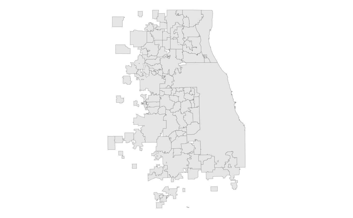
This dataset represents wastewater service boundaries (Facility Planning Areas, or FPAs) approved by IEPA as of 1 April 2014, after which IEPA ceased approving FPA boundaries. No updates to this data set have occurred since that date, and no additional updates are anticipated.
fpa_sfFormat
A multipolygon sf object with 111 rows and 5
variables:
- fpa
Full name of FPA (including parent- and sub-FPA). Character.
- parent_fpa
Name of parent FPA (same as
fpaif not part of a sub-FPA). Character.- sub_fpa
Name of sub-FPA, which may have multiple parent FPAs. Character.
- sqmi
Area in square miles. Double.
- geometry
Feature geometry.
sfmultipolygon.
Details
CMAP is the designated areawide water-quality management planning agency for the seven counties of northeastern Illinois, with responsibility for reviewing wastewater permits, facility plans, and related topics to ensure consistency with the federally-approved Illinois Water Quality Management Plan and the Areawide Water Quality Management Plan.
Examples
# Display the FPAs with ggplot2
library(ggplot2)
ggplot(fpa_sf) + geom_sf(lwd = 0.1) + theme_void()
