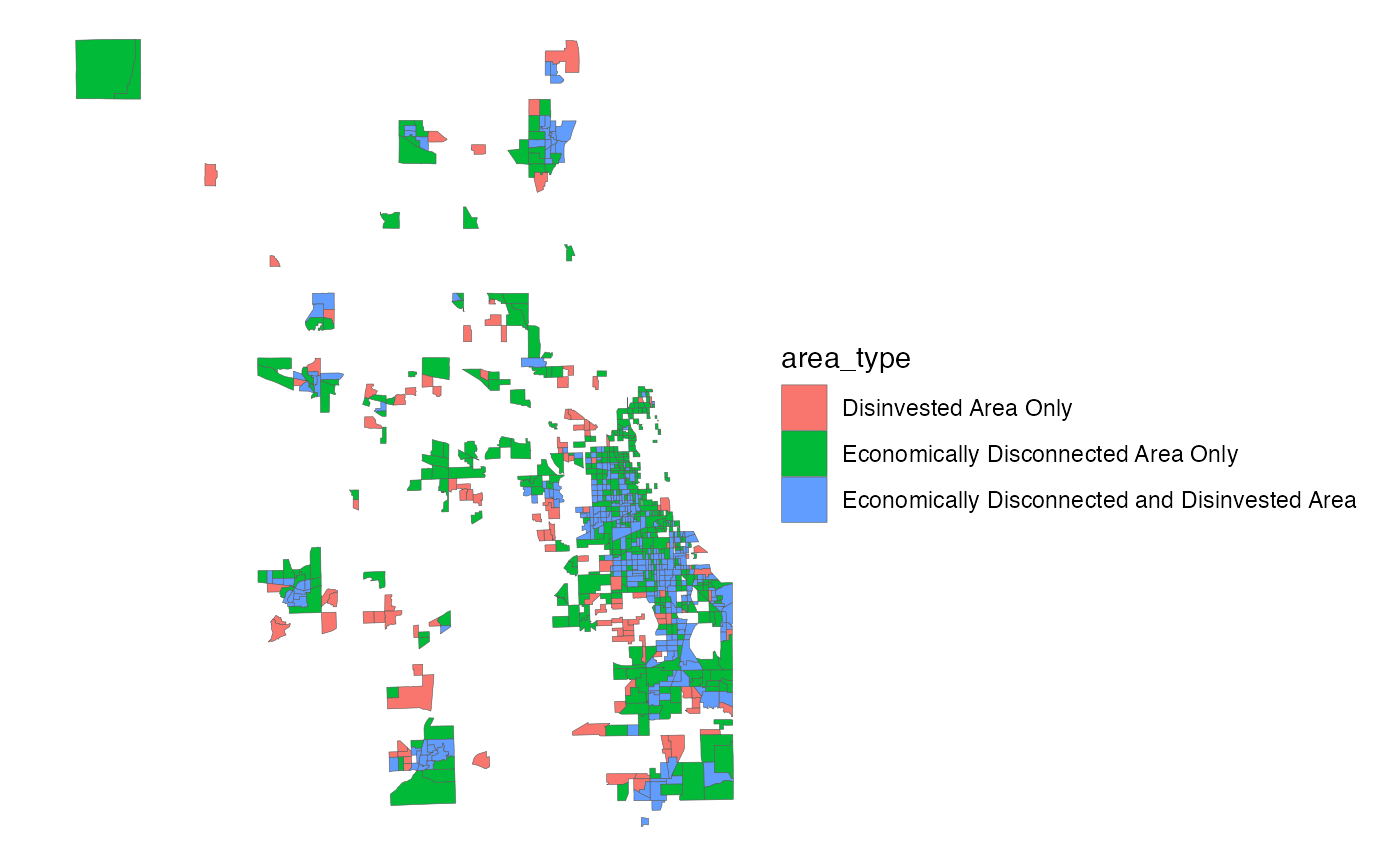
To advance ON TO 2050's commitment to inclusive growth, CMAP has defined Economically Disconnected and Disinvested Areas within the region. These classifications have been made at the Census tract level, covering the 7-county CMAP region. Economically Disconnected Areas (EDAs) are areas that describe population-based estimates of concentrated low-income and minority status, whereas disinvested areas outline places with long-term declines in employment and other markers of commercial market weakness. Together, these communities experience a persistent, long-term lack of market investment, leading to declining property values, taxes, employment, and, frequently, population. Disinvestment often constrains the ability of any individual community to respond effectively to these losses, and high tax rates and low market potential limit private investment.
eda_sfFormat
A polygon sf object with 856 rows and 7
variables:
- geoid_tract
Unique 11-digit tract ID, assigned by the Census Bureau. These correspond to tract boundaries from 2010, not 2020. Character.
- county_fips
Unique 5-digit FIPS code of the county the tract is in. Character.
- area_type
Description of the tract's combined EDA and disinvested status. Character.
- eda
Is the tract an Economically Disconnected Area (EDA)? Logical.
- disinvested
Is the tract a disinvested area? Logical.
- sqmi
Area in square miles. Double.
- geometry
Feature geometry.
sfpolygon.
