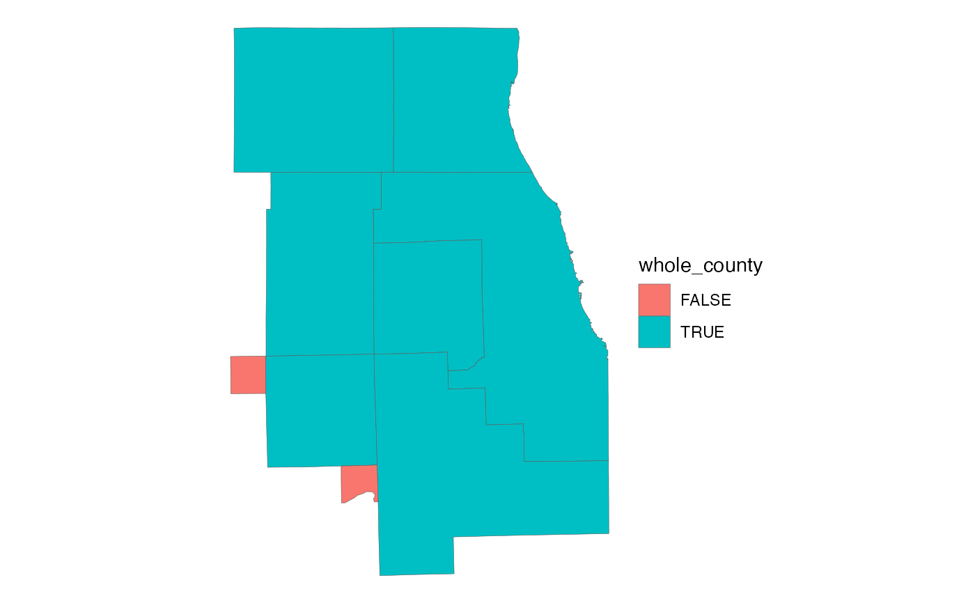
This dataset depicts the individual counties (some only partial) that compose the Chicago Metropolitan Planning Area, approved by the Board of CMAP and the MPO Policy Committee in March of 2013. Final approval by Governor Quinn was granted on 11 September, 2014. The revised MPA includes the urbanized area established by the US Census Bureau pursuant to the 2010 Decennial Census. The MPA was expanded to include Somonauk and Sandwich Townships in DeKalb County.
cmap_mpa_sfFormat
A polygon sf object with 9 rows and
5 variables:
- label_name
County name (or township names, for partial counties). Character.
- county_fips
Unique 5-digit county FIPS code. Character.
- whole_county
Does feature represent an entire county? Logical.
- sqmi
Area in square miles. Double.
- geometry
Feature geometry.
sfpolygon.
